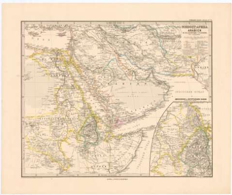
Nordost - Afrika und Arabien


Section: Maps, plans and nautical charts
Uniform title: MAR ROJO. Mapas generales. 1:12500000 (1885)
Title: Nordost - Afrika und Arabien
Material or type of resouce Area: Escala 1:2500000 ; [proyec. cónica] (E20°50'-E60°0'/N35°15'-5°20')
Publication: Gotha : Justus Perthes, 1885
Physical description: 1 mapa : col. ; 33x41 cm en h. de 40,5x48,5 cm
Content type: Imagen cartográfica
Media type: computadora
Carrier type: recurso en línea
Notes: En : Stieler's Hand - Atlas, N. 70'
Presenta además un mapa de Abessien & Agyptischer Sudan'
Escalas graficas de 200 geograficas millas [= 4 cm], 300 km [= 3,5 cm]. Red geografica de 5° en 5°
Tabla cromática para indicar los distintos estados
Materia / lugar / evento: Mapas generales
1885
Egipto
Somalia
Arabia Saudí
Other authors: Petermann, Augustus Herman
Perthes, Justus, 1749-1816
UDC: 912(267.3)'1885'
(620)
(677)
(532)
Type of publication:
 Maps
Maps
Rights:
Préstamo:
 Disponible
