Russland und Skandinavien im maassstabe von 1:10.000.000...


 Maps, plans and nautical charts
Russland und Skandinavien im maassstabe von 1:10.000.000 : [generalkarte] (1879)
- Petermann, Augustus, 1822-1878
Maps, plans and nautical charts
Russland und Skandinavien im maassstabe von 1:10.000.000 : [generalkarte] (1879)
- Petermann, Augustus, 1822-1878
 Disponible Holdings
 Section: Maps, plans and nautical charts
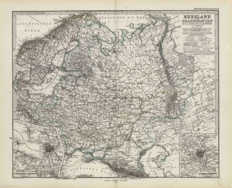
Title: Russland und Skandinavien im maassstabe von 1:10.000.000 : [generalkarte] / von A. Petermann ; gezeichnet v. H. Habenicht
Author: Petermann, Augustus, 1822-1878
Material or type of resouce Area: Escala 1:10.000.000 (E0 -E85 /N70 -N40)
Publication: Gotha [Alemania] : Justus Perthes, 1879
Physical description: 1 mapa : col. ; cm, en h. de 39x48 cm, pleg. en 39x24 cm
Content type: Imagen cartográfica
Media type: computadora
Carrier type: recurso en línea
Notes: Constan ademas coordenadas según el meridiano de París y de ferro
Relieve : líneas perpendiculares normales
Leyenda de signos utilizados
Inserta : Planos de población de 'St. Petersburg und Umgebung. - Escala 1:500000' y de 'Moskau und Umgebung. - Escala 1:500000
En el margen superior derecho : "Stieler's Hand-Atlas Nº 49"
Copia digital . España : Ministerio de Cultura y Deporte. Subdirección General de Coordinación Bibliotecaria, 2010
Other titles: En: Hand atlas : über alle Theile der Erde und über das Weltgebäude. - Gotha [Alemania R.D.] : Justus Perthes, [1879]. - N 49
Related titles: Europa. Mapas generales (1879). 1:10000000
UDC: 912:341.222(480+485+481+47-2/-5)'1879'
480
485
481
47
912:314(47 Leningrado)(084.3)'1879'
912:314(47 Moscú)(084.3)'1879'
Type of publication:
Maps
Rights:
