Oesterreich, süd westlicher theil : [generalkarte]


 Maps, plans and nautical charts
Oesterreich, süd westlicher theil : [generalkarte] (1879)
- Berghaus, Hermann, 1828-1890
Maps, plans and nautical charts
Oesterreich, süd westlicher theil : [generalkarte] (1879)
- Berghaus, Hermann, 1828-1890
 Disponible Holdings
 Section: Maps, plans and nautical charts
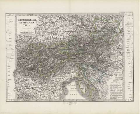
Title: Oesterreich, süd westlicher theil : [generalkarte] / entworfen & bearbertet von Herman Berghaus ; Gestochen v.W. Alt, Berge v.C. Jungmann
Author: Berghaus, Hermann, 1828-1890
Material or type of resouce Area: Escala 1:1.850.000
Publication: Gotha [Alemania] : Justus Perthes, 1879
Physical description: 1 mapa : col. ; 29x41 cm, en h. de 39x48 cm, pleg. en 39x24 cm
Content type: Imagen cartográfica
Media type: computadora
Carrier type: recurso en línea
Notes: Coordenadas : E26 10'-E34 30'/N49 05'-N44 25'. Meridiano de Ferro. Constan ademas coordenadas según el meridiano de París
Relieve : sombreado
Leyenda de signos utilizados
Inserta : 2 mapas de altitudes
En el margen superior derecho : "Stieler's Hand-Atlas Nº 28"
Copia digital . España : Ministerio de Cultura y Deporte. Subdirección General de Coordinación Bibliotecaria, 2010
Other titles: En: Hand atlas : über alle Theile der Erde und über das Weltgebäude. - Gotha [Alemania R.D.] : Justus Perthes, [1879]. - N 28
Materia / lugar / evento: Mapas generales
Yugoslavia
Austria
Other authors: Stieler, Adolf, 1775-1836
Alt, Wilhelm, -1865
Jungmann, Carl
Justus Perthes (Firma)
Related titles: Europa. Central. 1:1850000
UDC: 912:341.222(436-2/5+437.1)'1879'
436
437.1
Type of publication:
Maps
Rights:
