Süd-west Deutschland und Schweir : Nordlicher Theul :...


 Maps, plans and nautical charts
Süd-west Deutschland und Schweir : Nordlicher Theul : [generalkarte] (1879)
- Vogel, C
Maps, plans and nautical charts
Süd-west Deutschland und Schweir : Nordlicher Theul : [generalkarte] (1879)
- Vogel, C
 Disponible Holdings
 Section: Maps, plans and nautical charts
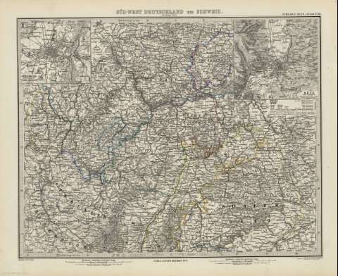
Title: Süd-west Deutschland und Schweir : Nordlicher Theul : [generalkarte] / bearbeitet von C. Vogel ; gestochen : situatión & schrift v.H. Eberhardt , Terrain von Wilhelm Weiler
Material or type of resouce Area: Escala 1:925.000
Publication: Gotha [Alemania] : Justus Perthes, 1879
Physical description: 1 mapa : col. ; 33x41 cm, en h. de 39x48 cm, pleg. en 39x24 cm
Content type: Imagen cartográfica
Media type: computadora
Carrier type: recurso en línea
Notes: Coordenadas : E23 30'-E28 30'/N51 00'-N48 20'. Meridiano de Ferro. Constan ademas coordenadas según el meridiano de París
Relieve : sombreado
Leyenda de signos utilizados
Inserta : Metz und Umgegend. - Escala 1:150.000
En el margen superior derecho : "Stieler's Hand-Atlas Nº 24"
Copia digital . España : Ministerio de Cultura y Deporte. Subdirección General de Coordinación Bibliotecaria, 2010
Other titles: En: Hand atlas : über alle Theile der Erde und über das Weltgebäude. - Gotha [Alemania R.D.] : Justus Perthes, [1879]. - N 24
Other authors: Eberhardt, Hermann, 1811-1885
Weiler, Wilhelm Robert, 1825-1895
Stieler, Adolf, 1775-1836
Justus Perthes (Firma)
Related titles: Europa. Central. 1:925000
UDC: 912:341.222(44-2/5+430.1/.2-2/5+436-2/5+494-2/5)'1879'
44
430.1
430.2)
494
Type of publication:
Maps
Rights:
