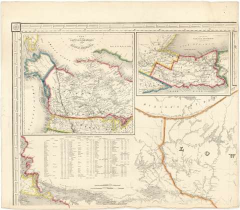
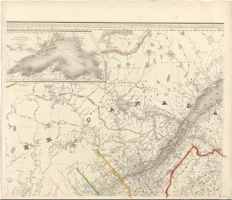
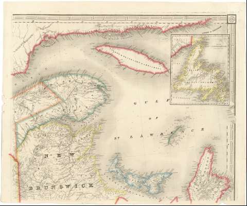
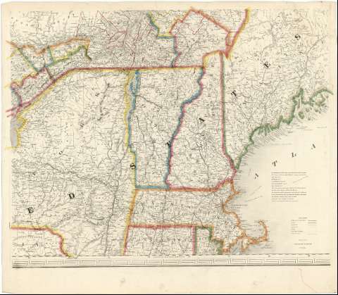
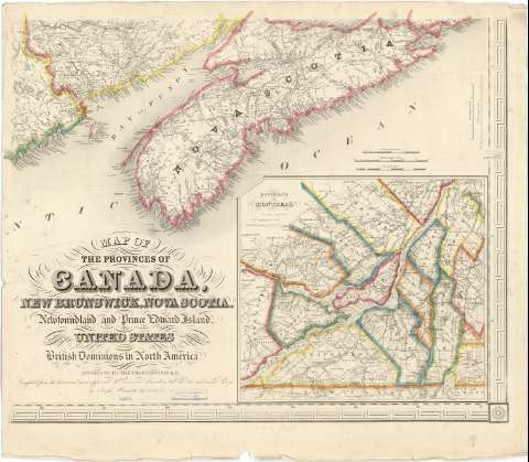
Map of the provinces of Canada, New Beunswick, Nova Scotia, Newfoundland and Prince Edward Island, with a large section of the United States and exhibiting the boundary of the British Dominions in North America according to the Traties of 1842 & 6 [Ar.J-T.1-C.2_99]
DIGIBÍS