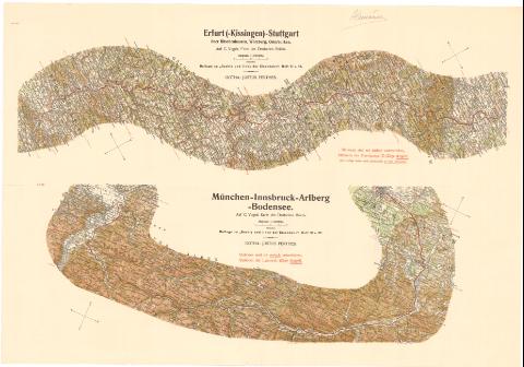
Munchen - Innsbruck - Arlberg - Bodensee


 Disponible Holdings
 Section: Maps, plans and nautical charts
Uniform title: Alemania. Líneas ferroviarias (1897). 1:500000
Title: Munchen - Innsbruck - Arlberg - Bodensee / Auf C. Vogels Kartedes Deutschen Reichs
Material or type of resouce Area: 1:500000
Publication: Gotha : Justus Perthes, [1897?]
Physical description: 1 mapa : col. ; 21,7 x 62,4 cm en h. de 43,4 x 62,4 cm
Notes: Orientado con flecha. Indica puntos cardinales
Relieve representado por normales
Nota relativa a las estaciones y a los mapas que lo acompañan
Erfunt (- Kissinger) - Stuttgart uber Ritschenhausen, Wurzburg, Osterburken
Other authors: Vogels, C
Perthes, Justus, 1749-1816
UDC: 912:625.1(430-13)'1897'
(430-Munchen)
(430 Bodensee, lago)
(436 Innsbruck)
Type of publication:
 Maps
Maps
Rights:
Préstamo:
Disponible
