Appomattox Court House


Section: Maps, plans and nautical charts
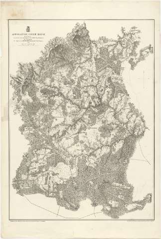
Title: Appomattox Court House / From Surveys under the direction of But. Maj. Genl. A.A. Humphreys, Brig. Genl & Chief of Engineers, 1867 ; Surveyed & drawn by Maj. J.E. Weys, assisted by F. Theikuhl, J. Strasser & G. Thompson
Material or type of resouce Area: [Ca. 1:21120]
Publication: [New York] : Photolith by the N.Y. Lithographing, Engraving & Printing Co., Julius Bien, 1867
Physical description: 1 mapa ; 77 x 56 cm
Content type: Imagen cartográfica
Media type: computadora
Carrier type: recurso en línea
Notes: Escala nominal de 3 pulgadas por milla. Orientado con flecha
Relieve representado por normales
Sobre el título figura impreso un escudo, posiblemente el de la Secretaría de Guerra
Relacionado con los mapas con signatura SG. J-2-3-151 a 166
Materia / lugar / evento: Mapas generales
1867
Virginia
Estados Unidos
Other authors: Humphreys, A. A (Andrew Atkinson), 1810-1883
Michler, N
Bien, Julius, 1826-1909
Theilkuhl, F
Weyss, J. E
Thompson, G
Strasser, J
UDC: 912(755)"1867"
755 Appomattox
Type of publication:
 Maps
Maps
Rights:
Préstamo:
 Disponible
