Military Map of Middle Tennessee and parts of East...


 Maps, plans and nautical charts
Military Map of Middle Tennessee and parts of East Tennessee and the Adjoining States benig of the Department of the... (1874)
Maps, plans and nautical charts
Military Map of Middle Tennessee and parts of East Tennessee and the Adjoining States benig of the Department of the... (1874)
 Disponible Holdings
 Section: Maps, plans and nautical charts
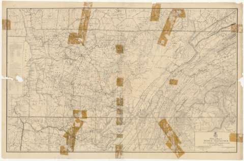
Title: Military Map of Middle Tennessee and parts of East Tennessee and the Adjoining States benig of the Department of the Cumberland / comanded by Maj. Gen. Geo. H. Thomas U.S.A. ; compiled and drawn under the direction of Col. W. M. E. Merrill, Ast. U.S.V.V. Eng'rs. Capt. Corps of Eng's. & Chief Engr. Dept. of the Cumberland, with the assistance of Prof. J. M. Safford, late State Geologist of Tennessee by C. S. Mergell, Asst. Engr. 1865
Material or type of resouce Area: Escala [ca. 1:342414], 10 statute miles [= 4'7 cm] (O 88°30'--O 83°30'/N 37°00'--N 34°30')
Publication: [Washington] : Published by Authourity of the Hon. Secretary ofWar in the Office of the Chief of Engineers, U.S.A. Army, 1874
Physical description: 1 mapa ; 88 x 138 cm
Content type: Imagen cartográfica
Media type: computadora
Carrier type: recurso en línea
Notes: Comprende el estado de Tennessee y la parte septentrional de los de Alabama y Georgia, en los Estados Unidos
Relieve por normales
Tabla de signos convencionales para indicar los núcleos de población de distinta categoría y otros puntos de interés de la zona
En nota, se señalan todos aquellos trabajos tenidos en cuenta para la elaboración del presente documento
Materia / lugar / evento: Mapas generales
Divisiones administrativas
1874
Alabama
Georgia (Estados Unidos)
Estados Unidos
Other authors: Thomas, G. H
Safford, J. M
Mergell, C. S
Merrill, W. E
Estados Unidos. Army. Office of the Chief of Engineers
UDC: 768
761-17
758-17
Type of publication:
Maps
Rights:
Préstamo:
Disponible
