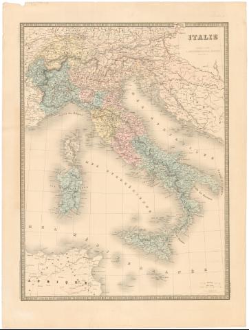
Italie


Section: Maps, plans and nautical charts
Uniform title: Italia. Mapas generales. 1:2300000 (1855)
Title: Italie
Material or type of resouce Area: Escala [1:2300000], 100 kilométres [= 4,3 cm]
Publication: Paris : J. Andriveau - Goujon, Editeur, Rue du Bac, 21, 1855
Physical description: 1 mapa : col. ; 60,8x46,2 cm en h. de 71,9x53,9 cm
Notes: Pertenece al 'Atlas Universal'. - n 25
Comprende, ademas de Italia la zona N.O. de Yugoslavia
Escala gráfica ademas de 60 millas italianas [= 4,6 cm]. Coordenadas referidas al meridiano de París (E4°-E16°/N47°-N35)
Relieve representado por sombreado
Signo convencional para indicar las lineas férreas
ITL
Materia / lugar / evento: Mapas generales
Divisiones administrativas
1855
Yugoslavia
Other authors: Andriveau-Goujon, J
UDC: 912(45-328)'1855'
(497.1-16)
Type of publication:
 Maps
Maps
Rights:
Préstamo:
 Disponible
