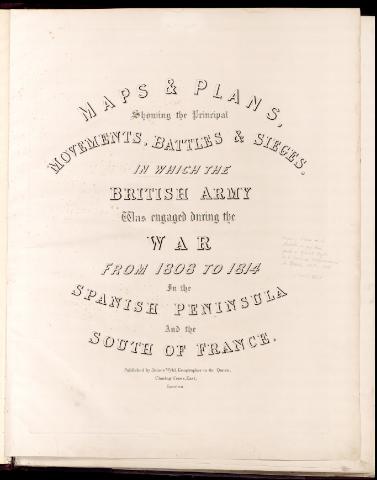
Maps & Plans, showing the principal Movements, Battles &...
Section: Maps, plans and nautical charts
Uniform title: España. Batallas. 1840. Varias escalas (1808-1814)
Title: Maps & Plans, showing the principal Movements, Battles & Sieges, in which the British Army was engaged during the War from 1808 to 1814 in the Spanish Peninsula and the South of France / James Wyld
Material or type of resouce Area: Varias escalas
Publication: London : printed by Day & Haghe, [1840]
Physical description: 1 atlas : 47 lám. ; 87 x 67 cm
Media type: sin mediación
Notes: Relieve representado por normales
Vegetación representada en algunas zonas
Cada lám. contiene una leyenda explicativa
Contiene un índice de los mapas y planos
the evacuation of Lisbon by the French_- lám. 2. Action near Bolica - lám. 3. Battle of_Vimierd, Passage of the River Douro - lám. 4. Battle of Corunna - lám. 5. Battle of Talavera de la Reyna- lám. 6. Operations in Portugal and the adjoining frontier of Spain - lám. 7. Position of Santarem, Plan of the affair Almeida - lám. 8. Movements of the two armies upon the position of Busaco - lám. 9. Battle of Busaco - lám. 10. The lines in front to Lisbon - lám. 11. Monte Junto, between Aruda y Sobral, Cintra - lám. 12. near Pombal, beyond Pombal - lám. 13. Affair at Redinha, Advanced of the Allies upon Condeixa - lám. 14. Affair at Foz D'Aruce, affair of the Cazal Novo - lám. 15. French Army on the right bank of the Alba - lám. 16. the French Troops occupyng the position of Guarda - lám. 17. Affair of Sabugal - lám. 18-19 Battle of Fuentes D'Oñoro - lám. 20. Action near the Vigia de la Barrosa - lám. 21. Tarifa, Affair El Bodon, Affair at Arroyo Molinos - [lám. 22]. Siege of Badaboz, Siege of Ciudad Rodrigo - lám. 23-24. Battle of Salamanca - [lám. 25]. Battle of Vitoria - lám. 26. Fortress of St. Sebastian, Castalla - [lám. 27-28]. Battle of Pamplona - lám. 29. Battle of San Marcial - lám. 30. Passage of the Bidasoa - lám. 31. Nivelle - lám. 32. Bayonne - [lám. 33]. Battle of Orthes - [lám. 34]. Bay of Biscay - [lám. 35]. Map of part of the Pyrenees - lám. 36. Affair of Garries, Affair of Aire, Tarbes - [lám. 37]. Battle of Toulouse - [lám. 38]. Island of Leon and bay of Cadiz
Included records: Action near Roliça : on the 17th. August 1808
Advance of the allies upon Condeixa : 13th. March 1811
[...] Ver todos los registros incluidos (51)
Other authors: Wyld, James, 1812-1887
UDC: 460
Type of publication:
![]() Maps
Maps
Préstamo:
![]() Disponible
Disponible


