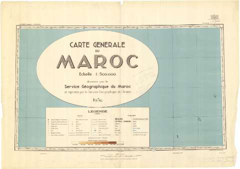
Carte Générale du Maroc
Section: Maps, plans and nautical charts
Title: Carte Générale du Maroc / dressée par le Service Géographique du Maroc et imprimée par le Service Géographique de l'Armée
Author: Marruecos (Protectorado Francés). Service géographique. 1:500.000
[Carte Générale du Maroc] All editions
Characteristics of the edition: 1942. Francés
Edición: Tirage de septembre 1942
Material or type of resouce Area: Escala 1:500.000
Publication: París : Institut Geographique National, 1942
Physical description: 1 mapa en 15 hojas : lit., col. ; en h. de 62 x 88 cm o menos
Content type: Imagen cartográfica
Media type: computadora
Carrier type: recurso en línea
Notes: Márgenes graduados
Relieve representado por tintas hipsométricas; hidrografía
Tabla de signos convencionales para indicar vías de comunicación: caminos, pistas, ferrocarriles aeródromos, faros; núcleos de población; relieve y puntos geodésicos; bosques, canales de riego y minas
Contains: Flle. N.1. 29 Titre -- Flle. N.1. 29 Zone Nord Maroc S.O. Safi -- Flle. N.1. 29 Zone Nord Maroc S.E. Casablanca -- Flle. N.1 29 Zone Sud Maroc S.O. Tiznit -- Flle. N.1 29 Zone Sud Maroc S.E. Tata -- Flle. N.1 29 Zone Sud Maroc N.O. Agadir -- Flle. N.1 30 Zone Nord Maroc S.E. Figuig -- Flle. N.1 30 Zone Nord Maroc S.O. Meknès -- Flle. N.1 30 Zone Nord Maroc N.E. Oujda -- Flle. N.1 30 Zone Nord Maroc N.O. Fès-Rabat -- Flle. N.1 30 Zone Sud Maroc N.O. Boudenib -- Flle. N.1 30 Zone Sud Maroc S.O. Tabelbala -- Flle. N.1 30 Zone Sud Maroc S.E. Kerzaz -- Flle. N.1 30 Zone Sud Maroc N.E. Colomb-Bechar
Materia / lugar / evento: Comunicaciones
1942
Marruecos
Argelia
Marruecos (Protectorado Francés)
Marruecos (Protectorado Español)
Genre / form: Mapas generales
Other authors: Institut Géographique National (Francia). Annexe du Maroc
UDC: (64 Marruecos)
(65 Argelia)
Type of publication:
![]() Maps
Maps
Préstamo:
![]() Disponible
Disponible


