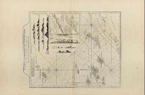
Falmouth and Carreg Road
Section: Maps, plans and nautical charts
Title: Falmouth and Carreg Road [Mapa] / R. Sayer & J. Bennett
Material or type of resouce Area: Escala [ca. 1:35000]
Publication: London : Robert Sayer and J. Bennett, 1779
Physical description: 1 map. ; 30 x 33 cm, en h. de 62 x 45 cm
Notes: En : "The East India Pilot, or Oriental Navigator, part. I, map. no.9
Consta escala gráfica de una milla, [= 4,6 cm]
Presenta análisis batimétrico
Orientado con lis
Indica la localización de fondeaderos
Incluye una perspectiva de la costa cercana a la ciudad de Falmouth, con el castillo de la ciudad al fondo
Título enmarcado en cartela barroca
Documento acompañado de : "Hel-ford sound"
Materia / lugar / evento: Cartas náuticas
Bahías
Puertos
Perspectivas de costas
1779
Cornwall
Falmouth (Reino Unido)
Gran Bretaña
Other authors: Bennett, John
Sayer, Robert, 1725-1794
UDC: 912:551.468]:742:551.468(410)"17"
410 Falmouth
Type of publication:
![]() Maps
Maps
Préstamo:
![]() Disponible
Disponible
Préstamo:
![]() Disponible
Disponible
Préstamo:
![]() Disponible
Disponible


