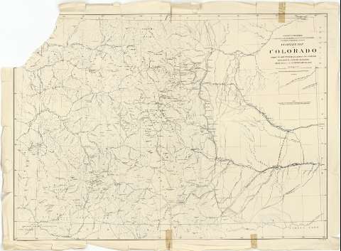
Drainage map of Colorado


Section: Maps, plans and nautical charts
Uniform title: Colorado (Estados Unidos). Mapas generales. 1:760320 (1877)
Title: Drainage map of Colorado / primary triangulation by J.T. Gardner and A.D. Wilson ; Topography by A.D. Wilson [et al.] ; Department of the Interior, U.S. Geological and Geographical Survey of the Territories F.V. Hayden U.S. Geologist in Charge
Material or type of resouce Area: Escala [ca. 1:760320 ; proy. cónica equidistante] (O 109°30'--O 102°00'/N 41°00'--N 36°43')
Publication: N.Y. [i.e. New York] : J. Bien Lith., 1877
Physical description: 1 mapa : col. ; 64 x 89 cm
Content type: Imagen cartográfica
Media type: computadora
Carrier type: recurso en línea
Notes: Escala nominal de 12 millas por pulgada y gráfica de 48 millas [= 10'1 cm]. Red geográfica de 30' en 30'
Orografía por puntos acotados
Materia / lugar / evento: Mapas generales
Other authors: Gardner, J.T
Bien, Julius, 1826-1909
Wilson, A.D
Hayden, F.V
Estados Unidos. Department of the Interior
UDC: 912(788)"1877"
788
Type of publication:
 Maps
Maps
Rights:
Préstamo:
 Disponible
