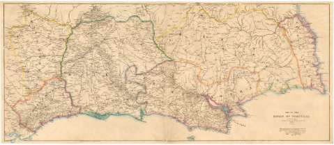
Map of the Roads of Portugal


Section: Maps, plans and nautical charts
Uniform title: Portugal. Mapas generales. 1840. 1:460.000 (1808-1811)
Title: Map of the Roads of Portugal / E. Jones Sculpt.
Edición: 2nd ed. add. and Corr. by Lieutt. James Gruttwel 83rd. Reg. t.
Material or type of resouce Area: Escala [ca. 1:460000]
Publication: London : Published by J. Arrowsmith 10 Soho Square, 1840
Physical description: 1 mapa, col., montado sobre tela ; 58x133,5 cm, pleg. en 58x67 cm
Content type: Imagen cartográfica
Media type: computadora
Carrier type: recurso en línea
Notes: Tabla de signos convencionales para indicar los principales núcleos de población
Nota explicativa sobre la legua portuguesa
Indica los limites de las divisiones administrativas en color
Materia / lugar / evento: Mapas generales
Carreteras
Divisiones administrativas
1840
Other authors: Jones, Edward
Gruttwel, James
UDC: 912:625.7(469)'1840'
469
Type of publication:
 Maps
Maps
Rights:
Préstamo:
 Disponible
