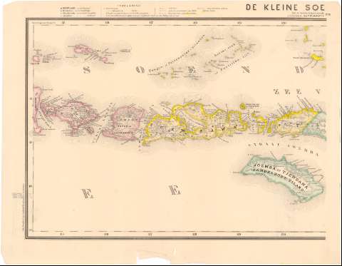
Kleine Soenda - Eilanden, De


Section: Maps, plans and nautical charts
Uniform title: INSULINDIA. Mapas generales. 1:1800000 (1870)
Title: Kleine Soenda - Eilanden, De / Naarde nieuwste haonnen bewerkt onder toezicht van Dr. I. Dornseiffen ; Gelithogr. door E. de Geest
Material or type of resouce Area: Escala 1:1800000 (E114°25'-E127°30'/S6°15'-S11°00')
Publication: Amsterdam : Seyfardts. Boekhandel, 1870 (Amsterdam : Drukkerif van Seyffardts. Boekhandel)
Physical description: 1 mapa en 2 h. : col. ; 36,3x92,2 cm en h. de 36,3x46,8 cm
Content type: Imagen cartográfica
Media type: computadora
Carrier type: recurso en línea
Notes: Relieve representado por normales
Tabla de signos convencionales para indicar nucleos de poblacion de diferente categoria
Procede de la 'Coleccion Coello'
Materia / lugar / evento: Mapas generales
Topónimos antiguos
1870
Islas menores de la Sonda
Other authors: Dornseiffen, I
Geest, E. de
Seyffardts. Boekhandel
UDC: 912(91-13)'1870'
91-13
Type of publication:
 Maps
Maps
Rights:
Préstamo:
 Disponible
