Karte von dem Grossherzogthume Hessen : in das...


 Maps, plans and nautical charts
Karte von dem Grossherzogthume Hessen : in das trigonometrische Netz der allgemeinem Landesvermessung
Maps, plans and nautical charts
Karte von dem Grossherzogthume Hessen : in das trigonometrische Netz der allgemeinem Landesvermessung
 Disponible Holdings
 Section: Maps, plans and nautical charts
Uniform title: HESSE (Alemania). Central. Mapas generales. 1:50000 (1830)
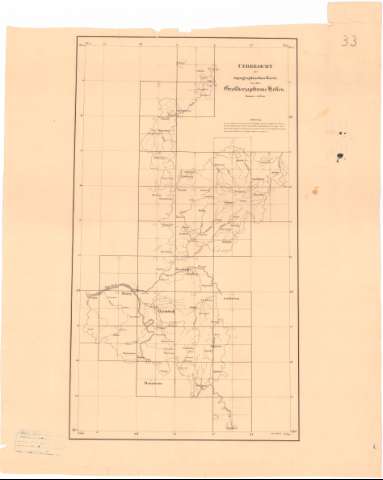
Title: Karte von dem Grossherzogthume Hessen : in das trigonometrische Netz der allgemeinem Landesvermessung / [Grossherz Hessischen Generalquartiermeisterstabe] ; gez. v. Oberlieutenant Mootz u Lieutenant Grundler ; von Hauptmann Meyer ; lith. V.C. Kling
Material or type of resouce Area: Escala 1:50.000
Publication: Alemania : vom dem Groscherz Hessichen Generalquartiermeistabe
Physical description: 1 mapa 30 h ; h. de 56x72 cm ó menos
Content type: Imagen cartográfica
Media type: computadora
Carrier type: recurso en línea
Notes: Escala grafica 3000 Gr. Hess Klafter [= 15,5 cm], 1 Geogr Meile [= 15 cm]
Coordenadas referidas al parecer al meridiano de Hierro (E25°30'-E27°20'/N51°24'-N19°12')
Relieve representado por sombreado y normales
Tabla de signos convencionales para indicar la composición del terreno
Inserta : Vebersicht der topographischen Karte von den Grokherzogthume Keffen. - Escala 1:500.000
Sello en seco del Deposito de la Guerra
Materia / lugar / evento: Mapas generales
1830
UDC: 912(430-328 Hesse)'1830'
430-328 Hesse
Type of publication:
Maps
Rights:
Préstamo:
Disponible
