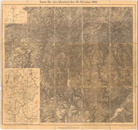
Karte fur die Manoier der 16 Division 1893


 Disponible Holdings
 Section: Maps, plans and nautical charts
Title: Karte fur die Manoier der 16 Division 1893 / Bearbeitet in der Kartographischen Abtheilunoder Konigl Preuss Londes - Aufnahme
Material or type of resouce Area: Escala 1:100000
Publication: [Alemania ? : [Editor no identificado], 1893 ?]
Physical description: 1 mapa : montado sobre tela ; 72,2x75,7 cm, pleg. en 23, 6x15,1 cm
Content type: Imagen cartográfica
Media type: computadora
Carrier type: recurso en línea
Notes: Coordenadas referidas, al parecer al meridiano de Hierro (E23°30'-E24°30'/N50°15'-N49°15')
Relieve representado por normales
Inserta : Ubersichts - Karte. - Escala 1:750000
Procede de la 'Colección Coello', n. 4
Entelado en 15 cuarterones
Materia / lugar / evento: Mapas topográficos
Maniobras militares
1893
Tréveris
Prum
UDC: 912:528.4]:355.52(430-328 Renania - Palatinado)'1893'
- Palatinado)
(430 Trier)
(430 Prum)
Type of publication:
 Maps
Maps
Rights:
Préstamo:
Disponible
