Jetersville and Sailors Creek


Section: Maps, plans and nautical charts
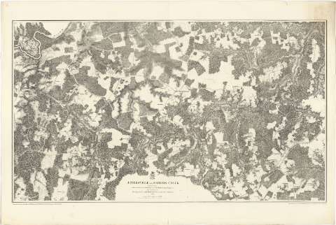
Title: Jetersville and Sailors Creek / from Surveys under the direction of But. Brig. Gen. N. Michler, Major of engineers by command of But. Maj. Genl. A.A. Humphreys, Brig. Genl. & Chief of engineers, 1867 ; surveyed & drawn of Maj. J.E. Weyss, assited by F. Theilkuhl, J. Strasser & G. Thompson
Material or type of resouce Area: Escala [ca. 1:21120]
Publication: [New York] : Photolith. by The N.Y. Lithographing, Engraving & Printing Co., Julius Bien, Supt, 1867
Physical description: 1 mapa ; 51 x 86 cm
Content type: Imagen cartográfica
Media type: computadora
Carrier type: recurso en línea
Notes: Comprende los alrededores de la citada ciudad y de la de Detonsville
Escala nominal de tres pulgadas por milla. Orientado con flecha, con las iniciales de los puntos cardinales
Orografía por normales
Sobre el título figura impreso un escudo posiblemente de la Secretaría de Guerra
Relacionada con los mapas J-2-3-151 a 166
Materia / lugar / evento: Mapas topográficos
1867
Virginia
Estados Unidos
Other authors: Michler, N
Weyss, J. E
Theilkuhl, F
Strasser, J
Thompson, G
Julius Bien & Co
UDC: 912(755)"1867"
755 Jetersville
Type of publication:
 Maps
Maps
Rights:
Préstamo:
 Disponible
