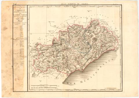
Atlas National de France
Section: Maps, plans and nautical charts
Uniform title: Francia. Mapas generales. 1818. 1:270000 (1790-1818)
Title: Atlas National de France / Gravé par d'Houdan
Edición: Ed. 1790, corr.
Material or type of resouce Area: Escala [ca. 1:270000], 10000 Toises [= 7,3 cm] ; [proyec. cónica]
Publication: A Paris : Chez J.B. Delaval Co - Propiétaire, Rue Geoffroy - Langevich N 7, 1818
Physical description: 1 atlas (ca. 108 h.) : col. ; h. de 56,6x79,4 cm
Content type: Imagen (cartográfica ; fija ; bidimensional ; visual)
Media type: sin mediación
Notes: Correcciones y adiciones en 1818
Coordenadas referidas a los meridianos de Paris y de Hierro. Red geográfica de 5# en 5#
Relieve representado por sombreado
Indica divisiones administrativas de cada departamento en color y masas forestales
Incompleto : existen 12 hojas numeradas 48, 52, 54, 56, 60, 63, 64, 66, 67, 68 y 108
FRN
Materia / lugar / evento: Mapas generales
Atlas
Divisiones administrativas
1790
Other authors: Delaval, J.-B
Houdan, D'
UDC: 912(44-328)'1790/1818'
44
Type of publication:
![]() Maps
Maps
Préstamo:
![]() Disponible
Disponible


