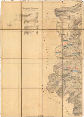
[Hessen, mafsstab 1:50000]


Section: Maps, plans and nautical charts
Uniform title: HESSE (Alemania). Central. Mapas topográficos (188). 1:50000
Title: [Hessen, mafsstab 1:50000] / [Oficina del Catastro]
Material or type of resouce Area: Escala 1:50000
Publication: [Alemania ? : [Editor no identificado], 188- ?]
Physical description: 1 mapa en bb h. : Montado sobre tela ; h. de 48,9x50,3 cm ó menos
Content type: Imagen cartográfica
Media type: computadora
Carrier type: recurso en línea
Notes: Titulo propio redactado a partir del contenido del documento
Mención de responsabilidad tomada del Catálogo del SG : 'Alemania. Siglos XVII a XIX'. 1976, p. 118
Relieve representado por normales
Procede de la 'Colección Coello'
Incompleta, sólo se dispone de 8 hojas
Entelado en 12 ó 15 cuarterones cada hoja
Contenido incompleto: Section Bingen -- Section Alzey -- Section Allenger -- Section Schotten -- Section Mainz -- Section Giessen -- Section Alsfeld -- Section Budingen
UDC: 912:528.4(430-328 Hesse)'1880/1889'
430-328 Hesse
Type of publication:
 Maps
Maps
Rights:
Préstamo:
 Disponible
