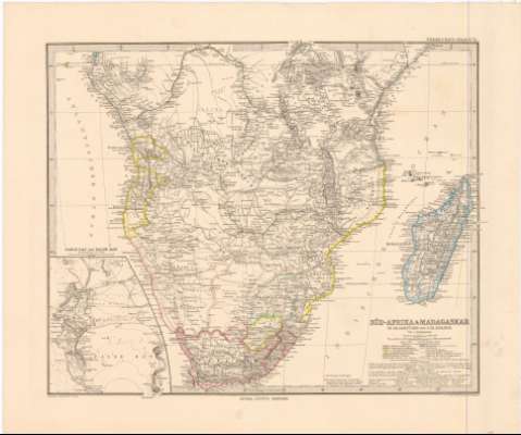
Sud-Afrika & Madagascar in Maassstabe von 1:12500000


 Disponible Holdings
 Section: Maps, plans and nautical charts
Uniform title: AFRICA. S. Mapas generales. 1885. 1:12500000 (18--)
Title: Sud-Afrika & Madagascar in Maassstabe von 1:12500000 / von A. Petermann ; Gezeichnet V.H. Habenicht ; Gest. V.C. Stier, Terrain V.C. Jungmam
Material or type of resouce Area: 1:12500000 ; [proyec. sinusoidal] (E 5°0'-E 55°0'/N 0°2'/S 35°0')
Publication: Gotha : Justus Perthes, 1885
Physical description: 1 mapa : col. ; 33 x 40,7 cm en h. de 40,5 x 48,9 cm
Content type: Imagen cartográfica
Media type: computadora
Carrier type: recurso en línea
Notes: Red geográfica de 5° en 5°
Relieve representado por normales
Relación de las principales posesiones coloniales europeas y etnias africanas indicadas por clave cromática
Tabla de signos convencionales para indicar ríos, lagos, líneas ferroviarias, etc
Nota sobre rutas y fechas de las expediciones geográficas
Sello del Depósito de la Guerra
Inserta: Table Bay und False Bay im Maassstab. Escala 1:500000
En: Stieler's Hand-Atlas. N. 71
Materia / lugar / evento: Mapas generales
Fronteras
Divisiones administrativas
Islas
S.XIX
África
Madagascar
Other authors: Petermann, Augustus Herman
Stieler, Adolf, 1775-1836
Habenicht, Hermann
Stier, C
Jungmann, C
Perthes, Justus, 1749-1816
UDC: 912(6-13)'1885'
6-13
Type of publication:
 Maps
Maps
Rights:
Préstamo:
Disponible
