[Map of North of Africa]


Section: Maps, plans and nautical charts
Uniform title: AFRICA. Mapas generales (189). 1:12600000
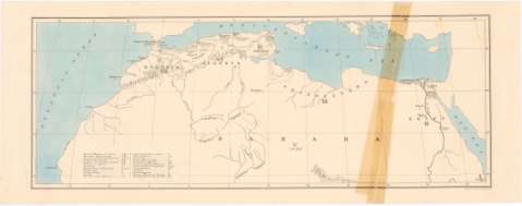
Title: [Map of North of Africa]
Material or type of resouce Area: [Ca. 1:12600000] ; [proyec. cónica] (O 15°20'-E 35°15'/N 35°20'-20°0')
Publication: London : Stanford's Geog. Estab., [189-?]
Physical description: 1 mapa : col. ; 19 x 52 cm en h. de 22,5 x 58 cm
Content type: Imagen cartográfica
Media type: computadora
Carrier type: recurso en línea
Notes: Título propio tomado a partir del contenido del documento
Red geográfica de 5° en 5°
Relieve representado por normales
Relación de las principales iglesias en África indicada por clave alfabética
Other authors: Stanford's Geographical Establishment (Londres)
UDC: 912:266(6-17)'1890/1899'
6-17
Type of publication:
 Maps
Maps
Rights:
Préstamo:
 Disponible
