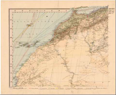
Spezial-Karte von Afrika imm Massstab von 1:4000000


 Disponible Holdings
 Section: Maps, plans and nautical charts
Uniform title: AFRICA. Mapas generales (1887). 1:4000000
Title: Spezial-Karte von Afrika imm Massstab von 1:4000000 / entworfen von Hermann Habenicht ; bearbeitet v. demselben, Bruno Domann und Dr. Richard Luddecke
Edición: 2 Auf.
Material or type of resouce Area: 1:4000000 (O 22 -E 54/N 35 -S 33)
Publication: Gotha : Justus Perthes, 1887
Physical description: 1 mapa en 10 h. : col. ; 60 x 71,6 cm + 3h.
Content type: Imagen cartográfica
Media type: computadora
Carrier type: recurso en línea
Notes: Escala gráfica de 500 km [= 12,5 cm] y 400 millas náuticas [= 18,5 cm]. Red geográfica de 2° en 2°
Relieve representado por sombreado
Tabla de signos convencionales para indicar núcleos de población de distinta categoría, ríos, fortificaciones, etc.
Relación de colonias europeas indicadas por clave cromática
Nota sobre las colonias
Relación de términos árabes con su traducción al alemán
Acompañado de dos hojas de suplemento con un mapa físico y otro político de Africa y otra hoja de portada
Other authors: Habenicht, Hermann
Domann, B
Luddecke, R
Perthes, Justus, 1749-1816
UDC: 912:[325.45:341.222](6)'1887'
6
Type of publication:
 Maps
Maps
Rights:
Préstamo:
Disponible
