[Tabelcut]. Hoja 1-III


Section: Maps, plans and nautical charts
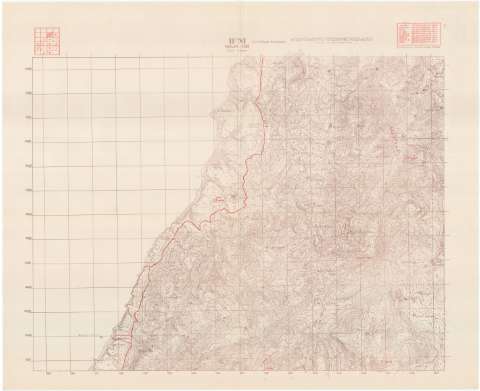
Title: [Tabelcut]. Hoja 1-III
Material or type of resouce Area: Escala 1:20.000
Publication: [Lugar de publicación no identificado] : [Editor no identificado], 1957
Physical description: 1 mapa : col. ; en h. de 80 x 98 cm o menor
Content type: Imagen cartográfica
Media type: computadora
Carrier type: recurso en línea
Notes: El título de la hoja han sido tomado del Plano director de la Provincia de Ifni, escala 1:25.000 con D.L. de 1959
Other titles: En: Ifni: copia minuta provisional. - H. 1-III
Materia / lugar / evento: Mapas topográficos
1957
Ifni
Sus-Masa-Draa
Marruecos
UDC: (648)
Type of publication:
 Maps
Maps
Rights:
Archivo Cartográfico de Estudios Geográficos del Centro Geográfico del Ejército
Collection: PCGE — Location: DE — Call number: MAR-C.12-143 H. 1-III — Código de barras: 9790924 — Notes: Bueno
Préstamo:
 Disponible

© Ministerio de Defensa de España
P. de la Castellana, 109 28071 Madrid.
Tlf: (34) 91 395 50 00
Email: patrimonio.cultural@oc.mde.es