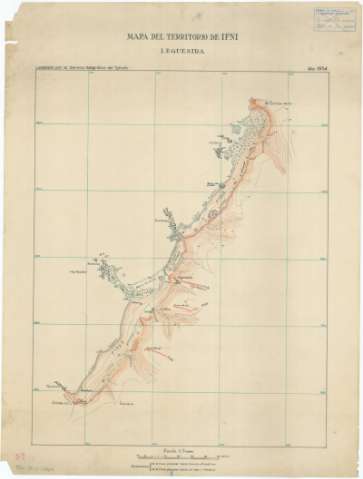
Mapa del territorio de Ifni : Leguesira


 Disponible Holdings
 Section: Maps, plans and nautical charts
Uniform title: Ifni. Planos topográficos. 1954. Español. 1:5.000
Title: Mapa del territorio de Ifni : Leguesira / levantado por el Servicio Geográfico del Ejército
Material or type of resouce Area: Escala 1:5.000
Publication: 1954
Physical description: 1 plano : ms., col. ; 70 x 53'5 cm
Content type: Imagen cartográfica
Media type: computadora
Carrier type: recurso en línea
Notes: Relieve representado por curvas de nivel, equidistancia de la línea pleamar hacia tierra = 5 metros, hacia el mar = 1 metro
Manuscrito en papel vegetal a 4 tintas roja, verde, negra y sepia
Materia / lugar / evento: Planos topográficos
1954
Ifni
Sus-Masa-Draa
Marruecos
Other authors: España. Servicio Geográfico del Ejército
UDC: (64 Ifni)
Type of publication:
 Maps
Maps
Rights:
Préstamo:
Disponible
