[Itinerario de Barcelona al Portús]


Section: Maps, plans and nautical charts
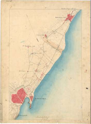
Uniform title: Barcelona. Itinerarios topográficos. Español (1851). 1:20.000
Title: [Itinerario de Barcelona al Portús] / Juan Carlos Emilio, Joaquín de Craywinckel
Material or type of resouce Area: Escala 1:20.000
Publication: 1851
Physical description: 1 mapa en 14 h. : ms., col. ; en h. de 69,0 x 50,9 cm
Content type: Imagen cartográfica
Media type: computadora
Carrier type: recurso en línea
Notes: Comprende la zona costera de la parte septentrional de la provincia de Barcelona y la oriental de Gerona pasando, entre otras, por las poblaciones de Badalona, Mataró, Arenys de Mar, Tordera, Massanet de la Selva, Gerona, Figueras y La Junquera
Título y fecha tomados de la memoria: "Itinerario de Barcelona al Portús", de sign. C-39 N° 5, con lo cual se corresponde
Firmadas y rubricadas por los autores
Orientadas al norte magnético
Orografía por curvas de configuración croquisadas, sin cotas
Longitud total del itinerario: 36 horas y 17 minutos
Mención del número de vecinos de los núcleos de población más significativos
Existe una copia en tela para planos
Materia / lugar / evento: Itinerarios topográficos
1851
Gerona (Provincia)
Barcelona (Provincia)
Coll del Pertús
Other authors: Emilio, Juan Carlos
Craywinckel y Fernández, Joaquín
UDC: 912:528.42(467.11-18)(467.13-11)"1851"
467.11-18
467.13-11
Type of publication:
 Maps
Maps
Rights:
Préstamo:
 Disponible
