Colton's General Atlas : containing one hundred and...


 Maps, plans and nautical charts
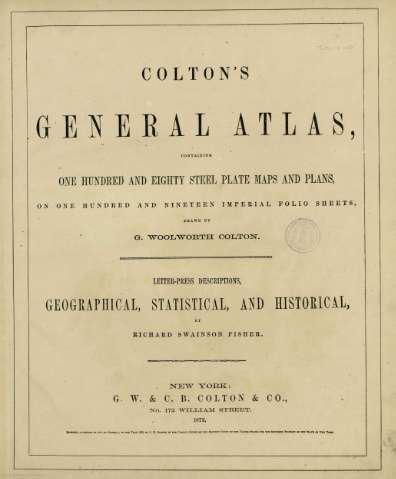
Colton's General Atlas : containing one hundred and eighty steel plate maps and plans, on one hundred and nineteen... (1872)
- Colton, G. Woolworth, 1827-1901
Maps, plans and nautical charts
Colton's General Atlas : containing one hundred and eighty steel plate maps and plans, on one hundred and nineteen... (1872)
- Colton, G. Woolworth, 1827-1901
 Disponible Holdings
 Section: Maps, plans and nautical charts
Title: Colton's General Atlas : containing one hundred and eighty steel plate maps and plans, on one hundred and nineteen imperial folio sheets / drawn by G. Woolworth Colton ; letter-press descriptions, geographical, statistical, and historical, by Richard Swaison Fisher
Author: Colton, G. Woolworth, 1827-1901
Material or type of resouce Area: Varias escalas
Publication: New York : published by G.W. and C.B. Colton & Co. n 172 William St., [1872]
Physical description: 1 atlas (180 mapas) : col ; 36x44 cm
Content type: Imagen cartográfica
Media type: computadora
Carrier type: recurso en línea
Notes: Copia digital. Madrid : Ministerio de Cultura. Dirección General del Libro, Archivos y Bibliotecas, 2010
Included records: Africa : north eastern sheet. - New York : published by G.W. and C.B. Colton & Co., [1872]
Africa : north western sheet. - New York : published by G.W. and C.B. Colton & Co., [1872]
[...] Ver todos los registros incluidos (106)
Materia / lugar / evento: Mundo - Mapas
Other authors: Swaison Fisher, Richard
Related titles: Mundo. Mapas generales (1872)
UDC: 100
Type of publication:
Maps
Rights:
Préstamo:
Disponible
