Planisphere representant toute L'etendre du Monde dans...


 Maps, plans and nautical charts
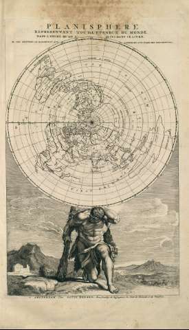
Planisphere representant toute L'etendre du Monde dans l'ordre qu'on a suivi dans ce livre (1715)
Maps, plans and nautical charts
Planisphere representant toute L'etendre du Monde dans l'ordre qu'on a suivi dans ce livre (1715)
 Disponible Holdings
 Section: Maps, plans and nautical charts
Uniform title: Mundo. Cartas náuticas. 1715
Title: Planisphere representant toute L'etendre du Monde dans l'ordre qu'on a suivi dans ce livre
Material or type of resouce Area: Escala sin determinar
Publication: Amsterdam : Ex officina L. Renard, [1715]
Physical description: 1 mapa ; 51 x 58 cm
Content type: Imagen cartográfica
Media type: computadora
Carrier type: recurso en línea
Notes: Copia digital. Madrid : Ministerio de Cultura, 2010
Other titles: En: Atlas de la Navigation, et du Commerce qui se fait dans toutes les parties du Monde. - A Amsterdam : Chez Louis Renard, Marchand Libraire, 1715. - Lámina 2
Materia / lugar / evento: Mundo - Mapas
Genre / form: Atlas mundiales
Other authors: Renard, Louis, 1648?-1746
UDC: (100)
Type of publication:
Maps
Préstamo:
 Disponible sólo para consulta en sala
