Bahía Honda


Section: Maps, plans and nautical charts
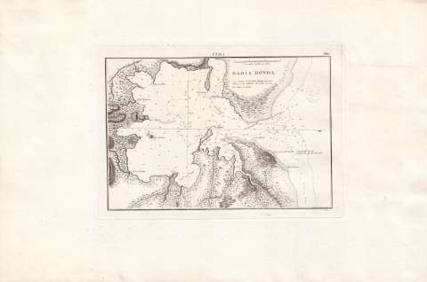
Title: Bahía Honda / TG
Material or type of resouce Area: Escala [ca. 1:33670], Una milla dividida en cables [= 5,5 cm]
Publication: Madrid : Dirección de Hidrografía, [1861-1900?]
Physical description: 1 carta náutica ; 18 x 27 cm
Content type: Imagen cartográfica
Media type: computadora
Carrier type: recurso en línea
Series: (Cuba ; 382)
Notes: Coordenadas de la punta y cerro del Morrillo referidas al meridiano de Cádiz (O 76°49'48''/N 22°58'49''). Orientado con media lis en nudo de cuatro rumbos
Relieve por normales
Fecha de publicación deducida de otros documentos de la misma serie
Indica sondas batimétricas, veriles, bancos y bajos
Clave hidrográfica para determinar la calidad del fondo
Toponimia costera de los principales accidentes geográficos
Sello en seco de la Dirección de Hidrografía
Materia / lugar / evento: Cartas náuticas
Batimetría
Bahías
Toponimia
S.XIX
Other authors: España. Dirección de Hidrografía
UDC: 729.11 Bahía Honda
Type of publication:
 Maps
Maps
Rights:
Préstamo:
 Disponible
