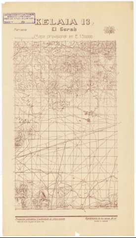
El Gareb. H. 13-7: Kelaia


Section: Maps, plans and nautical charts
Title: El Gareb. H. 13-7 [Material cartográfico] ]: Kelaia
Material or type of resouce Area: Escala 1:50.000
Publication: [Madrid] : Talleres del Servicio Geográfico del Ejercito, 1949
Physical description: 1 h. ; 58 x 32 cm
Content type: Imagen cartográfica
Media type: computadora
Carrier type: recurso en línea
Other titles: En: Marruecos : Mapa provisional en E. 1:50.000. - 2ª ed.. - [Madrid] : Servicio Geográfico del Ejército, 1934-1953. - H. 13-7
Other authors: España. Servicio Geográfico del Ejército
UDC: (64 Guelaya)
Type of publication:
 Maps
Maps
Rights:
Archivo Cartográfico de Estudios Geográficos del Centro Geográfico del Ejército
Location: DE — Call number: MAR-C.6-083 H. 13-7(2) — Código de barras: 9785217 — Notes: Bueno
Préstamo:
 Disponible

© Ministerio de Defensa de España
P. de la Castellana, 109 28071 Madrid.
Tlf: (34) 91 395 50 00
Email: patrimonio.cultural@oc.mde.es