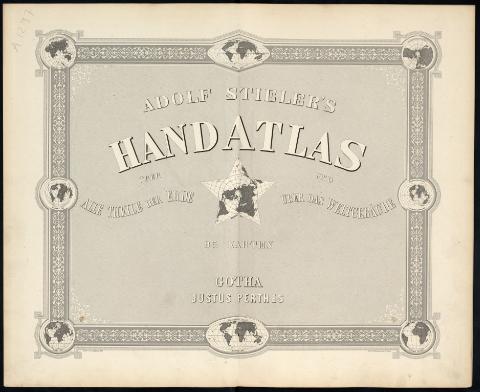
Adolf Stieler's Hand Atlas : über alle theile der Erder...
Uniform title: Mundo. Mapas generales. Varias escalas (1882)
Title: Adolf Stieler's Hand Atlas : über alle theile der Erder und über das weltgebände
Material or type of resouce Area: Varias escalas
Publication: Gotha : Justus Perthes, [1882]
Physical description: 1 atlas ([4], 7 p. [103] h. de lám.) : 65 map. col. ; 40 cm
Content type: Imagen (cartográfica ; fija ; bidimensional ; visual)
Media type: sin mediación
Notes: Fecha tomada de los mapas
Coordenadas referidas principalmente a Greenwich, también referidas a Ferro y París
Relieve representado por normales
Aparece clave de color para algunos mapas en los que se indican las colonias europeas
Señala también con colores las fronteras y divisiones administrativas de cada país
Contenido incompleto: N.1 Titleblattmit 8 Nebenkarten, Erdenwürfe enthaltend Vorbericht.--N.2 Der Nördliche Stern-Himmel.--N.3 Der Südliche Stern-Himmel.--N.4 Gebiet der Sonne.--N.5 Die Sichtbare Seite der Mondoberfläche.--N.6 Weltkarte zur übersicht der Luftströmungen und Niederschläge.--N.7 Weltkarte zur Ubersicht der Meeresstrómungen u. des Schnellverkehrs.--N.8 Hönen und Tiefen der Erdein Lambert's Zenithal-Projection.--N.9 Land und Wasservertheilung auf der Erde in Globular-Projection.--N.10 Nord-Polar-karte.--N.11 Süd-Polar-Karte.--N.12 Nord-Atlantischer Ocean--N.13-14 Das Mittelländische Meer und Nord Afrika.--N.15 Europe.--N.16 Höhen-karte von Mittel-Europe.--N.17 Deutsches Reich.--N.18 Das Deutsches Reich und seine Nachbarländer.--N.19-22 Deutsches Reich.--N.23 Sachsen, Thüringen und benachbarte Länder.--N.24-25 Süd-West-Deutschland und die Schweiz.--N.26 Osterreichisch-Ungarische Monarchie.--N.27-28 Osterreich.--N.29 Länder der Ungarischen Krone.--N.30 Italien.--N.31 Ober und Mittel-Italien.--N.32 Süd-Italien.--N.33 Frankreich.--N.34-37 Frankreich.--N.38 Spanien und Portugal.--N.39-42 Spanische Halbinsel.--N.43 Niederlande und Belgien.--N.44 Dänemark und die Dänischen Kolonien.--N.45 Die Britischen Inseln.--N.46-47 Grossbritannien.--N.48 Ireland.--N.49 Russland und Skandinavien.--N.50-55 Ost-Europa.--N.56 Die Balkan-Halbinsel.--N.57 Griecheland.--N.58 Asien.--N.59 Nord-und Mittel-Asien.--N.60 Klein-Asien und Syrien nebst den westlichen theilen von Armenien, Kurdistan und Mesopotamien.--N.61 Palästina.--N.62 Iran und Turan oder Persien, Afghanistan, Balutchistan, Turkestan.--N.63-64 Indien und Inner-Asien.--N.65 Cina (Ostlicher Theil), Korea und Japan.--N.66 Chine-sisches Reich.--N.67 Ostindische Inseln.--N.68 Afrika.--N.69 Nordwest-Afrika.--N.70 Nordost-Afrika und Arabien.--N.71 Süd-Afrika und Madagaskar.--N.72 Des Capland.--N.73 Australien.--N.74 Südost-Australien.--N.75 West-Australien, Tasmanien und Neu-Seeland.--N.76-77 Polynesien und der Grosse Ocean.--N.78 Nord-Amerika.--N.79-82 West-Indien, Central-Amerika bis zum südlichen Canada.--N.83-88Vereinigte Staaten von Amerika.--N.89 Süd-Amerika.--N.90-95 Süd-Amerika.--N.1-8 Karte des Mittelländischen meeres in 8 blättern
Materia / lugar / evento: Mapas generales
Colonias
Divisiones administrativas
Atlas
Fronteras
Other authors: Stieler, Adolf, 1775-1836
Perthes, Justus, 1749-1816
UDC: 912:341.222:325.45](100-35)"1882"(084.4)
100
Type of publication:
![]() Maps
Maps
Préstamo:
![]() Disponible
Disponible


