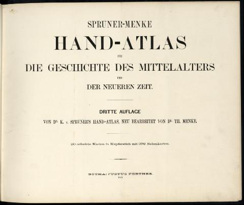
Hand-Atlas für die Geschichte des Mittelalters und der...
Section: Maps, plans and nautical charts
Title: Hand-Atlas für die Geschichte des Mittelalters und der neueren Zeit [Texto impreso]
Author: Spruner, Karl von
Edición: 3. Aufl.neu bearbeitet von Dr. Th. Menke
Publication: Gotha : Justus Perthes, 1880
Physical description: 42 p., 89 h. de mapas dobl. col. ; 40 cm
Series: (Spruner's Stlas ; 2)
Materia / lugar / evento: Historia universal - Atlas
Other authors: Menke, Theodor
UDC: 911(4/5)(084.4)
Type of publication:
![]() Books
Books
Archivo Cartográfico de Estudios Geográficos del Centro Geográfico del Ejército
Call number: AT_246-2
Préstamo:
![]() Disponible
Disponible
© Ministerio de Defensa de España
P. de la Castellana, 109 28071 Madrid.
Tlf: (34) 91 395 50 00
Email: patrimonio.cultural@oc.mde.es


