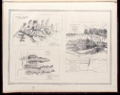
Movement of the Allies to dislodge the French Army from...
Section: Maps, plans and nautical charts
Uniform title: TARBES (Francia). Operaciones militares. 1840. Escala [ca. 1:21.800]. 1 English Mile [= 7'4 cm] (1814)
Title: Movement of the Allies to dislodge the French Army from its position near Tarbes : on the 20th. of March 1814 [Material cartográfico] / on zinc by C. Burton ; from a sketch by colonel Staveley
Material or type of resouce Area: Escala [ca. 1:21.800]. 1 English Mile [= 7'4 cm]
Physical description: 1 mapa ; 84 x 64 cm
Notes: Relieve representado por normales
Vegetación representada en algunas zonas
Leyenda explicativa con el desarrollo de la contienda
Affair near the Town of Aire. Affair of Garris
Materia / lugar / evento: Operaciones militares
Combates
Guerras de independencia
1814
Francia
Gran Bretaña
Other authors: Wyld, James, 1812-1887
Burton, Charles
UDC: 44
Type of publication:
![]() Articles and chapters
Articles and chapters


