Hand-Atlas von Afrika : in vierzehn Blatt zur Allgemeinen...


 Maps, plans and nautical charts
Hand-Atlas von Afrika : in vierzehn Blatt zur Allgemeinen Erdkunde (1831)
Maps, plans and nautical charts
Hand-Atlas von Afrika : in vierzehn Blatt zur Allgemeinen Erdkunde (1831)
 Disponible Holdings
 Section: Maps, plans and nautical charts
Uniform title: AFRICA. Mapas generales. Varias escalas (1831)
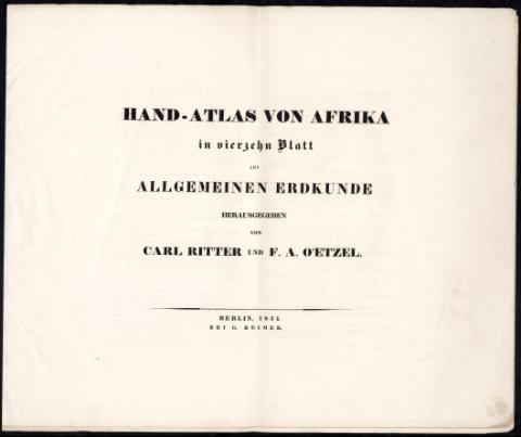
Title: Hand-Atlas von Afrika : in vierzehn Blatt zur Allgemeinen Erdkunde / Carl Ritter und F.A. O'Etze
Material or type of resouce Area: Varias escalas
Publication: Berlín : G. Reimer, 1831
Physical description: 1 atlas : 17 lám. ; 45 x 56 cm
Media type: sin mediación
Notes: Relieve representado por normales
Vegetación representada en algunas zonas
Contains: [lám. 1]. Afrika - [lám. 2]. Süd Ende Afrika's und dem Caps Colonie Lande - [lám. 3]. Aethiopisches Hochland Alpenland Habesch - [lám. 4]. Hoch Sudan - [lám. 5]. Lauf des Nils von der Cataracte von Dulga bis Wady Halfa - [lám. 6]. Lauf des Nils von Wady Halfa bis Kous - [lám. 7]. Lauf des Nils von Kous bis Cairo - [lám. 8]. Die Nilcataracten von Syene - [lám. 9]. Plan der Gegend von Theben - [lám. 10]. Unter-Aegypten - [lám. 11]. Kairo nebst Umgebung mit der Gegend des Alten Memphis - [lám. 12]. Cairo nebst Umgebung - [lám. 13]. Alexandria - [lám. 14]. Querdurchschnitt de Nilthales bei Siout mit Angabe der XIII Brunnenbohrungen der Franzosen - [lám. 15]. Kurve welche das Gesetz des Steigens und Fallen der Wasser bei den Nilschwellen darstellt - [lám. 16]. Nilmesser und andre Denkmale an wechen die Erhöhungen des Nilbettes beobactet sind - [lám. 17]. Norküste Afrika's von Alexandria bis Tunis
Included records: Aethiopisches Hochland Alpenland Habesch : und Vorstuffe von Darfur und Sennaar
Die Nilcataracten von Syene
[...] Ver todos los registros incluidos (13)
Other authors: Ritter, Karl
UDC: 6
Type of publication:
Maps
Rights:
Préstamo:
Disponible
