[Topographischen Atlas Schweiz]


Section: Maps, plans and nautical charts
Uniform title: Suiza. Mapas topográficos (1870-1907). 1:50000
Title: [Topographischen Atlas Schweiz] / Lith. Leuzinger, C. Von Hoven
Material or type of resouce Area: Escala 1:50000
Publication: [Bern?] : Topogr. Bureau Federal, 1870-1907
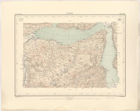
Physical description: 1 mapa en h. : col. ; h. de 41,2 x 52 cm o menos
Notes: Titulo propio tomado del Catálogo del S.G. 'Imperio Turco y Suiza. Siglos XVII a XIX'. 1977, p. 65
Coordenadas referidas a meridiano que no se (E4°00'-E8°20'/N47°12'-N45°00')
Relieve representado por curvas de nivel de 30 m de equidistancia y puntos acotados y dibujo de las formas del Terreno. Sondas batimétricas
Indica isolineas de batimetria
En el margen superior indica la sección a la que corresponde y el n. de hoja. En el angulo superior derecho gráfico de distribucion de hojas
Sello en seco del 'Topografischen Bureau'
Incompleto : se dispone desde la hoja 209 bis a la 439 con algunas lagunas entre ellas
Other authors: Leuzinger, Rudolf
Hoven, C. von
Suiza. Topographisches Bureau
UDC: 912:528.4(494)'1870/1907'
494
Type of publication:
 Maps
Maps
Rights:
Préstamo:
 Disponible
