Plan of the isle Rodrigues : Commoly called Diego Rays...


 Maps, plans and nautical charts
Plan of the isle Rodrigues : Commoly called Diego Rays island (1778)
Maps, plans and nautical charts
Plan of the isle Rodrigues : Commoly called Diego Rays island (1778)
 Disponible Holdings
 Section: Maps, plans and nautical charts
Uniform title: Rodrigues (Mauricio) (Isla). Cartas náuticas. 1778. 1:144000
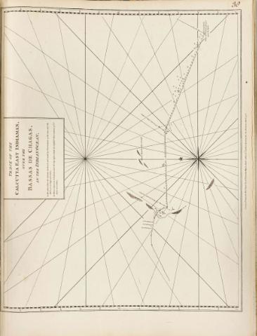
Title: Plan of the isle Rodrigues : Commoly called Diego Rays island [Mapa] / from Monsr d'Apres de Mannevilette
Material or type of resouce Area: Escala [ca. 1:144000]
Publication: London : Robert Sayer and John Bennett, 1778
Physical description: 1 map. ; 32 x 48 cm
Notes: En : "The East India Pilot or oriental Navigator or one hundred an fourteen", part I, map. n° 39
Contiene escala gráfica de tres leguas marinas, de 11,7 cm de longitud
Presenta análisis batimétrico de la costa cercana de isla Rodrigues
Describe nudos de rumbos
Inserta : "A Particular plan of the northem part of Madagascar, from Infandria to Cape Ambro"
Materia / lugar / evento: Cartas náuticas
Islas
Other authors: Mannevillette, Jean Baptiste Nicolas Denis d'Après de
Bennett, John
Sayer, Robert, 1725-1794
UDC: 912:551.46]:551.42(698.2:22)"17"
698.2:22 Rodrigues
Type of publication:
Maps
Rights:
Préstamo:
Disponible
