Geological and Topographical Atlas : Accompanying the...


 Maps, plans and nautical charts
Geological and Topographical Atlas : Accompanying the report of the Geological Exploration of the Fortieh Parallel (1876)
Maps, plans and nautical charts
Geological and Topographical Atlas : Accompanying the report of the Geological Exploration of the Fortieh Parallel (1876)
 Disponible Holdings
 Section: Maps, plans and nautical charts
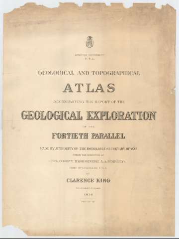
Title: Geological and Topographical Atlas : Accompanying the report of the Geological Exploration of the Fortieh Parallel / Made by authority of the Honorable Secretary of War under the direction of Brig. and Brvt. Major General A.A. Humphreys Chief of Engineers USA, by Clarence King U.S. Geologist in Charge 1876 ; Julius Bin Lith.
Material or type of resouce Area: Escala [ca. 1:253440], Four Miles to one Inch y [1:3801600], 60 Miles to 1 Inch (O 124°--O 104°/N 50°--N 28°)
Publication: [Washington D.C.] : Engineer Department, 1876
Physical description: 1 atlas (24 h.) : 12 map., col. ; 84 cm
Content type: Imagen cartográfica
Media type: computadora
Carrier type: recurso en línea
Notes: Comprende 24 hojas en las que se representa la parte occidental de los Estados Unidos, al este de los estados de Montana, Wijoming, Colorado y Nuevo México
Escala [1:3801600] para el mapa referente a las cordilleras y [1:253440] para el resto; también dadas en forma gráfica de 200 millas legales [= 8'9 cm] y 20 millas legales [= 12'6 cm], respectivamente
Relieve por sombreado, puntos acotados y curvas de nivel equidistantes 300 pies [ingleses]
Clave cromática para diferenciar, en los mapas geológicos, los distintos tipos de suelos de las zonas representadas
Amplia leyenda explicativa, en el prólogo, donde se informa sobre las características científicas de la expedición geológica que se llevó a cabo, fruto del cual es este atlas
Materia / lugar / evento: Mapas geológicos
Mapas generales
Atlas
1876
Other authors: Humphreys, A. A (Andrew Atkinson), 1810-1883
King, Clarence
Bien, Julius, 1826-1909
Estados Unidos. Army. Corps of Engineers
UDC: 73-15
Type of publication:
Maps
Rights:
Préstamo:
Disponible
Préstamo:
Disponible
Préstamo:
Disponible
