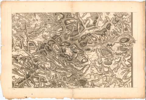
Valle del Rhin entre Mayence y Oberwesel]


 Disponible Holdings
 Section: Maps, plans and nautical charts
Title: Valle del Rhin entre Mayence y Oberwesel] / [Petri]
Material or type of resouce Area: Escala [ca. 1:150000], 2 Lienes [= 8,8 cm]
Publication: [Alemania ? : [Editor no identificado], 1762 ?]
Physical description: 1 mapa ; 15,3x72,2 cm en h. de 58,7x86,7 cm
Content type: Imagen cartográfica
Media type: computadora
Carrier type: recurso en línea
Notes: Título y mención de responsabilidad tomados del Catálogo del SG : 'Alemania. Siglos XVII a XIX'. 1976, p. 144
Relieve representado por normales
Indica masas forestales y caminos
En el ángulo inferior izquierdo : 'N. 4'
UDC: 912(430-328 Renania-Palatinado)'1762'
(430 Maguncia)
Type of publication:
 Maps
Maps
Rights:
Préstamo:
Disponible
