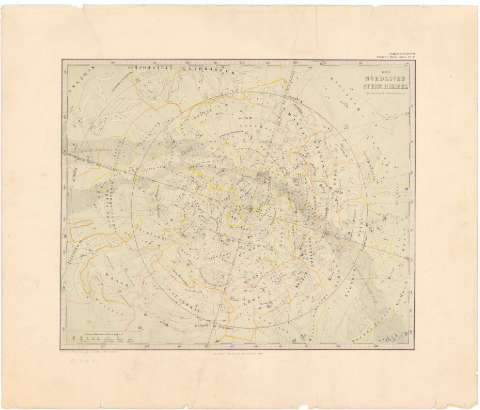
Nordliche Stern - Himmel, Der


Section: Maps, plans and nautical charts
Uniform title: UNIVERSO. Mapas celestes (1868). 1:0'3° por 1 cm
Title: Nordliche Stern - Himmel, Der / Entw. v. A. Stieler... Neve Auff. berichtigt v. Dn. C. Bauhns
Material or type of resouce Area: Escala 0'3° por 1 cm
Publication: Gotha : Justus Perthes, 1868
Physical description: 1 Carta Celeste : col. ; 28'5x35 cm en h. de 39'7x46'8 cm
Content type: Imagen cartográfica
Media type: computadora
Carrier type: recurso en línea
Notes: Pertenece al 'Stieler's Hand - Atlas ; N. 5'
Representación de las constelaciones por sus signos primitivos
Tabla de signos convencionales para indicar el tamaño de las estrellas
En angulo superior derecho : Ausgabe in 63 BI. N. III'
Materia / lugar / evento: Mapas celestes
1868
Other authors: Stieler, Adolf, 1775-1836
Bruhns, C
Perthes, Justus, 1749-1816
UDC: 912:[523/524]:524.8'1868'
Type of publication:
 Maps
Maps
Rights:
Préstamo:
 Disponible
