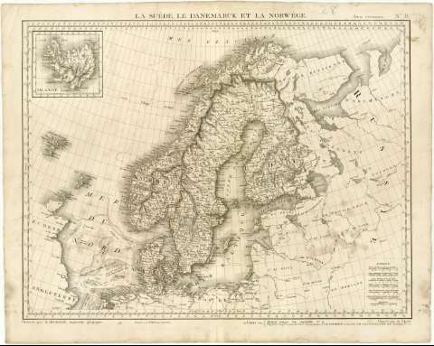
La Suéde, le Danemarck et la Norwége


Section: Maps, plans and nautical charts
Uniform title: Escandinavia. Mapas generales. 1:4800000 (180)
Title: La Suéde, le Danemarck et la Norwége / Dréssé par M. Herisson ; Gravée par M. Glot
Material or type of resouce Area: Escala [ca. 1:4800000], 50 Lienes communes de France, de 25 au Deg. [= 4,7 cm] ; [proyec. estereográfica]
Publication: A Paris : Chez Desrau Libraire, Rue Hautefeuille N 4, [180- ?]
Physical description: 1 mapa ; 49x63,5 cm en h. de 55,8x70 cm
Content type: Imagen cartográfica
Media type: computadora
Carrier type: recurso en línea
Notes: Presenta ademas mapa de Islandia
Editado también por 'Picquet, Géoghe. Graveur du Cabt. Topographique de S.M. L'Empereur et Roi, et de S.M. le Roi de Hollande Quai Malaquais N 15'
Escalas gráficas de Verts de Russie de 104 au Degré, Lienes Marines de 20 au Degré, Milles communs d'Allemagne de 15 au Do., Lienes de Danemarck de 14 3/4 au Degré y LIenes de Nowége et suéde de 10 4/3 au Degré
Coordenadas referidas al meridiano de París (O6¨00'-E39#15'/N68#00'-N51#00') y en sistema centesimal. Red geográfica de 1# en 1#
Relieve representado por normales y sombreado
En el margen superior derecho, 'Atlas Universel, N 8 'y en el márgen inferior,' Deposee a la Bibliotheque Impériale'
Other authors: Hérisson
Glot
Picquet, Charles, 1771-1827
Chez Desray (París)
UDC: 912(48)'1800/1810'
(481)
(485)
(480)
(489)
(491. 1)
Type of publication:
 Maps
Maps
Rights:
Préstamo:
 Disponible
