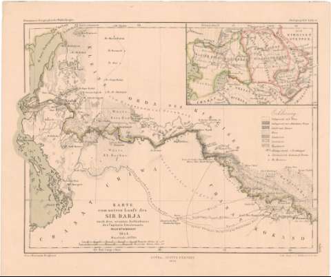
Karte vom untern Laugle des Sir Darja


Section: Maps, plans and nautical charts
Title: Karte vom untern Laugle des Sir Darja / nach den neusten Aufnahmen des Capitain Lieutenants Iwaschtschinzoff ; Gez. v. Hermann Berghaus
Material or type of resouce Area: Escala 1:1470000 ; [proyec. cónica] (E61°15'-E65°45'/N46°50'-N44°30')
Publication: Gotha : Justus Perthes, 1856 (in Gotha : Lith. Anst. V.C. Hellfarth)
Physical description: 1 mapa : col. ; 19'1x25'2 cm en h. de 22'8x27'2 cm
Content type: Imagen cartográfica
Media type: computadora
Carrier type: recurso en línea
Notes: Pertenece al 'Petermann's Geographische Mittheilungen, Jabrgang 1856, Tafel 15'
Escalas gráficas de 8 millas alemanas de 15 al grado [= 4 cm] y 50 verstas rusas [= 3'6 cm]. Coordenadas además referidas al meridiano de Paris (E59°00'-E63°20'/N46°50'-N44°30'). Red geográfica de 1° en 1°
Relieve representado por normales
Tabla de signos convencionales para indicar distintos tipos de suelo
Inserta : Die Kirgisen Steppen. - Escala [ca. 1:24000000], hallada a partir de 5 grados de la latitud [= 2'3 cm]. Coordenadas referidas al meridiano de Paris (E65°-E105°/N53°-N40°)
Procede de la 'Colección Coello'
Materia / lugar / evento: Mapas generales
1856
Other authors: Iwasctschinzoff
Berghaus, Herman
Perthes, Justus, 1749-1816
Hellfarth, C
UDC: 912(282.25 Syrdaria)'1856'
282.25 Syrdarja
Type of publication:
 Maps
Maps
Rights:
Préstamo:
 Disponible
