India and The Adjacent Parts of Beluchistan, Afghanistan,...


 Maps, plans and nautical charts
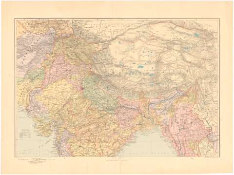
India and The Adjacent Parts of Beluchistan, Afghanistan, Turkestan The Chinese Empire and Siam (189-?)
Maps, plans and nautical charts
India and The Adjacent Parts of Beluchistan, Afghanistan, Turkestan The Chinese Empire and Siam (189-?)
 Disponible Holdings
 Section: Maps, plans and nautical charts
Uniform title: Asia. Mapas generales (189). 1:5000000
Title: India and The Adjacent Parts of Beluchistan, Afghanistan, Turkestan The Chinese Empire and Siam
Material or type of resouce Area: 1:5000000 ; [proyec. cónica] (E 70°0'-E 100°0'/N 35°45'-N 5°50')
Publication: London : Edward Stanford Ltd, 12, 13, & 14 Long Acre W.C., [189-?]
Physical description: 1 mapa en 2 h. : col. ; 94 x 68 cm en h. de 107 x 76 cm, pleg 76 x 59 cm
Content type: Imagen cartográfica
Media type: computadora
Carrier type: recurso en línea
Notes: Escalas gráficas de 300 milles inglesas [= 12 cm], 200 Km [= 5,5 cm]. Red geografica de 5° en 5°
Relieve representado por normales
Tabla de signos convencionales para indicar las líneas de ferrocarriles y los cables telegráficos submarinos
En el margen inferior izquierdo: "London Atlas Series"
Other authors: Stanford, Edward
UDC: 912(5-13)'1890/1899'
(581)
(510)
Type of publication:
Maps
Rights:
Préstamo:
Disponible
