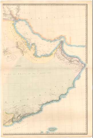
[Map of the Arabian Peninsula]


 Disponible Holdings
 Section: Maps, plans and nautical charts
Uniform title: ARABIA (Península). SE. Mapas generales (1849). 1:2000000
Title: [Map of the Arabian Peninsula] / Geographer to the Honble. East India Company ; engraved by J. and C. Walker
Material or type of resouce Area: [Ca. 1:2000000]
Publication: [London : [Editor no identificado]], July 31 st 1849
Physical description: 1 mapa en 2 h. : col. ; 101,7 x 68,2 cm, pleg. en 68,4 x 51,1 cm
Content type: Imagen cartográfica
Media type: computadora
Carrier type: recurso en línea
Notes: Título propio redactado a partir del contenido del documento
Escala hallada a partir de un grado de latitud [= 4,6 cm]. Proyec. cónica. Coordenadas referidas a un meridiano que no se especifica
Relieve representado por sombreado
Incompleto, falta 1 h.
Materia / lugar / evento: Mapas generales
Itinerarios
Divisiones administrativas
Penínsulas
1849
Arabia
Asia
UDC: 912:656.02(53-11)'1849'
53-11
Type of publication:
 Maps
Maps
Rights:
Préstamo:
Disponible
