Agrandissement Général de la Ville D'Anvers : Atlas


 Maps, plans and nautical charts
Agrandissement Général de la Ville D'Anvers : Atlas (1858)
- Keller et Compie.
Maps, plans and nautical charts
Agrandissement Général de la Ville D'Anvers : Atlas (1858)
- Keller et Compie.
 Disponible Holdings
 Section: Maps, plans and nautical charts
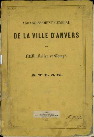
Title: Agrandissement Général de la Ville D'Anvers : Atlas / par MM. Keller et Compie
Author: Keller et Compie.
Material or type of resouce Area: Varias escalas
Publication: París : CH. Tanera, Éditeur Librairie pour L'Art Militaire, les Sciences et les Arts. Quai des Augustins, 27, 1858
Physical description: 1 atlas (6 h.) : 3 mapas, 3 planos ; 45 cm
Content type: Imagen cartográfica
Media type: computadora
Carrier type: recurso en línea
Notes: Datos tomados de la cubierta
Encuadernado en cartón, de color siena con orla
En el verso de la cubierta hay un aviso en el que se lee: "L'échelle des deux premiers plans est de 1mm pour 10 mètres (1/10000). Le bastion n 6 de la citadelle du Nord doit porter le n 1, et les numéros des autres bastions doivent ètre modifiés en conséquence"
Copia digital. Madrid : Ministerio de Cultura. Dirección General del Libro, Archivos y Bibliotecas, 2010
Copia digital . España : Ministerio de Cultura y Deporte. Subdirección General de Coordinación Bibliotecaria, 2010
Included records: Croquis Indiquant la Position D'Anvers Complétement fortifiée . - Bruselas : Imp. et lith de E. Guyot, [1858]
Fort Détaché : [Agrandissement Général de la Ville D'Anvers, plan du fort]. - Bruxelles : imp. de Guyot, [1858]
[...] Ver todos los registros incluidos (6)
Materia / lugar / evento: Fortificaciones
Bélgica
Other authors: Charles Tanera (Imprenta)
Related titles: AMBERES (Bélgica). Planos de población (1858)
UDC: 912:314(493 Amberes)(084.3)'1885'
912:623.1]:725.94:711.4(493 Amberes) '1885'
493
Type of publication:
Maps
Rights:
