[Atlas des operations militaires de l'Armée Francaise en...


 Maps, plans and nautical charts
[Atlas des operations militaires de l'Armée Francaise en Flanche á 1690 et suívánts] (1755 ?)
Maps, plans and nautical charts
[Atlas des operations militaires de l'Armée Francaise en Flanche á 1690 et suívánts] (1755 ?)
 Disponible Holdings
 Section: Maps, plans and nautical charts
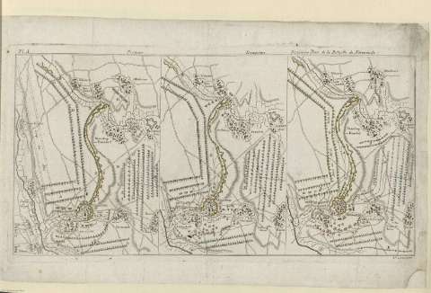
Title: [Atlas des operations militaires de l'Armée Francaise en Flanche á 1690 et suívánts]
Material or type of resouce Area: Varias escalas
Publication: [Paris ? : [Editor no identificado], 1755 ?]
Physical description: 1 atlas (15 h.) : 12 mapas ; 37 cm
Content type: Imagen cartográfica
Media type: computadora
Carrier type: recurso en línea
Notes: Encuadernación facticia en piel marron
Ejemplar falto de portada.
En la contraportada figura ex - libris de la Biblioteca del Principe de la Paz
Relieve : lineas perpendiculares normales
Algunos mapas estan realizados por Jean Beauraín, Chevalíer de (1696-1772) que realiza 'Flanche' en 1775
Copia digital. Madrid : Ministerio de Cultura. Dirección General del Libro, Archivos y Bibliotecas, 2010
Referencias: Tooley's Dictionary of Mapmakers. (p. 45)
Included records: Carte de l'investissement de Mons par l'Armée du Roy et des lignes de circonvallatión faites pour le siége de cette place en 1691 . - [París?] : [s.n], [1755?]
Carte de la seconde disposition de Steenkerque . - [París] : [Editor no identificado], [ca. 1755]
[...] Ver todos los registros incluidos (12)
UDC: 912:355.422]:[355.44:355.41:623.413:623.2:355.351]:(493)'1690/1693'
(493)
Type of publication:
Maps
Rights:
