Carte von Deutschland zu dem Meilen = Zeiger versertigetvon


 Maps, plans and nautical charts
Carte von Deutschland zu dem Meilen = Zeiger versertigetvon (17-- ?)
- Lotter, Tobias Conrad, 1717-1777
Maps, plans and nautical charts
Carte von Deutschland zu dem Meilen = Zeiger versertigetvon (17-- ?)
- Lotter, Tobias Conrad, 1717-1777
 Disponible Holdings
 Section: Maps, plans and nautical charts
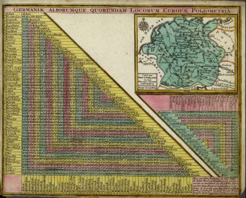
Title: Carte von Deutschland zu dem Meilen = Zeiger versertigetvon / Tob. Conrad Lotter Geogr. in Augsburg
Author: Lotter, Tobias Conrad, 1717-1777
Other titles: Zeiger versertigetvon
Material or type of resouce Area: Escala sin especificar
Publication: Augsburgo : [Anjezo im Verlag bey Tob. Conr. Lotter, geogr., [17-- ?]
Physical description: 1 mapa : col. ; 9x12 cm, en h. de 22x27 cm
Content type: Imagen cartográfica
Media type: computadora
Carrier type: recurso en línea
Notes: Relieve : morfográfico
Orientado con rosa de los vientos y lis
Copia digital. España : Ministerio de Cultura y Deporte. Subdirección General de Coordinación Bibliotecaria, 2010
Materia / lugar / evento: Siglo XVIII
Alemania
Países Bajos
Suiza
Related titles: Europa. Central. Mapas generales (1740-1777)
UDC: 912:341.222(430.1+430.2+492+494)'1740/1777'
430.1
430.2
492
(494)
Type of publication:
Maps
Rights:
