British Isles railways


 Disponible Holdings
 Section: Maps, plans and nautical charts
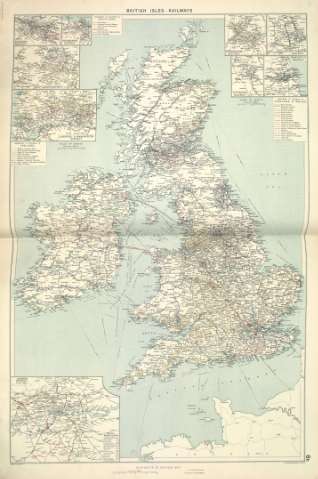
Title: British Isles railways
Author: Philip, George, 1870-1937
Material or type of resouce Area: Escala [ca. 1:1.938.963]. 80 Statutes Mile [= 6,64 cm]
Publication: [London] ; [Liverpool] : George Philip & Son, Ltd : The London Geographical Institute : Philip, Son & Nephew, [1922]
Physical description: 1 mapa ; 73 x 49 cm
Content type: Imagen cartográfica
Media type: computadora
Carrier type: recurso en línea
Notes: Copia digital. Madrid : Ministerio de Cultura, 2010
Inserta mapas de : Glasgow District ; Edinburgh District ; Leeds District ; Liverpool & Manchester District ; Birmingham District ; Nottingham District ; Potteries District ; Newcastle District ; London District
Other titles: En: Philip's Mercantile Marine Atlas. - [London] : Edited by George Philip [et al.], 1922. - Mapa 9
Materia / lugar / evento: Ferrocarriles
Británicas (Islas)
Other authors: George Philip & Son
Merchant, Shippers, Exported and Ocean Travelles
London Geographical Institute
Related titles: Islas Británicas. Mapas generales. ca. 1922
UDC: (41)
Type of publication:
 Maps
Maps
Préstamo:
 Disponible sólo para consulta en sala
