A new map of the British Colonies in North America :...


 Maps, plans and nautical charts
A new map of the British Colonies in North America : Shewing the seat of the present war, takefrom the best surveys,... (1777)
Maps, plans and nautical charts
A new map of the British Colonies in North America : Shewing the seat of the present war, takefrom the best surveys,... (1777)
 Disponible Holdings
 Section: Maps, plans and nautical charts
Uniform title: Estados Unidos. E. Colonias. 1:3537033 (1777)
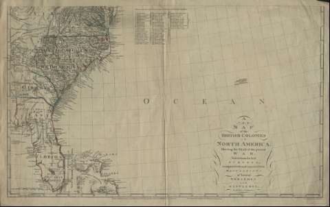
Title: A new map of the British Colonies in North America : Shewing the seat of the present war, takefrom the best surveys, compared with and improved from manuscripts pf several noblemen and gentlemen / by John Andrews
Material or type of resouce Area: Escala [ca. 1:3537033]
Publication: London : John Andrews ; Andrew Dury, 1777
Physical description: 1 mapa en 2 h. : col. ; h. de 55 x 82 cm
Content type: Imagen cartográfica
Media type: computadora
Carrier type: recurso en línea
Notes: Escala gráfica de 200 millas inglesas [= 9,1 cm]
Constan coordenadas del meridiano de Londres
Inserta relación de topónimos
Materia / lugar / evento: Colonias
América del Norte
Other authors: Dury, Andrew
Andrews, John, 1736-1809
UDC: 912:325.45(73)
73
Type of publication:
Maps
Rights:
Préstamo:
Disponible
