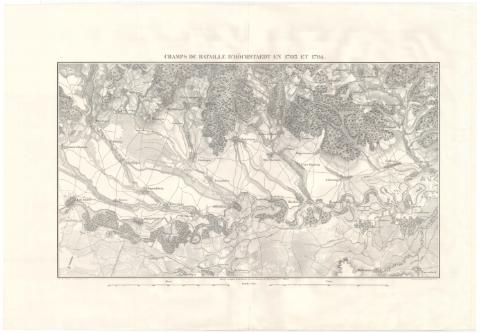
Champs de Bataille d'Höchstaedt en 1703 et 1704


 Disponible Holdings
 Section: Maps, plans and nautical charts
Uniform title: Höchstädt. Batallas. 1838 (1703-1704). 1:30000
Title: Champs de Bataille d'Höchstaedt en 1703 et 1704 / Dressé au Dépôt de la Guerre, sous la directión de Mr. le Lieutent. Gal. PELET ; Lith: de L. Letronne ; Gr. par Gratia
Material or type of resouce Area: Escala 1:30000
Publication: [--] : [--], 1838
Physical description: 1 mapa ; 72 x 108 cm, pleg. en 72 x 55 cm
Content type: Imagen cartográfica
Media type: computadora
Carrier type: recurso en línea
Notes: Relieve por sombreado
Orientado con flecha
Red hidrográfica y de caminos. Representado el río Danubio. Arbolado
Fecha de publicación tomada de la obra en la que se encuentra el mapa
Other titles: En: Atlas des mémoires militaires relatifs a la succession d'Espagne sous Louis XIV. - Paris : Imprimerie royale, 1836-[1862]. - [T. 2]
Materia / lugar / evento: Guerra de Sucesión
Batalla de Höchstädt
Operaciones bélicas
Topónimos antiguos
1701-1713
1703
1704
Alemania
Genre / form: Planos militares
Other authors: Pelet, Jean-Jacques-Germain, 1777-1858
Gracia
Francia. Dépôt de la guerre
Lithographie de L. Letronne
UDC: [912:355.4]:[355.42+355.422](430.1 Hochstadt)'1703-1704'
912:314(430.1 Hochstadt)(084.3)
430.1 Hochstadt
Type of publication:
 Maps
Maps
Rights:
Préstamo:
Disponible
