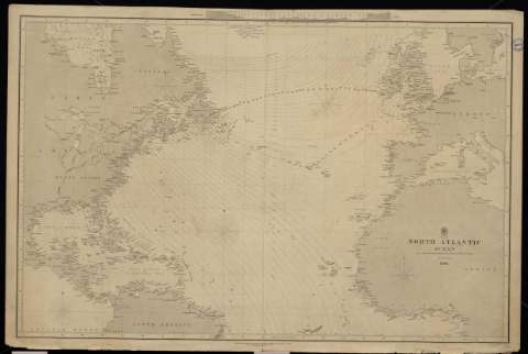
North Atlantic Ocean, 1850


Section: Maps, plans and nautical charts
Uniform title: Atlántico (Océano). Cartas náuticas. 1850 (1851). Español. Escala [ca. 1:11.111.111]
Title: North Atlantic Ocean, 1850 / Engraved by J. & C. Walker
Material or type of resouce Area: Escala [ca. 1:11.111.111]
Publication: London : Published according to Act of Parliament at the Hydrographic Office of the Admiralty, 1851
Physical description: 1 carta náutica : papel entelado ; 62 x 95 cm
Content type: Imagen cartográfica
Media type: computadora
Carrier type: recurso en línea
Notes: Meridiano de Greenwich
Sello: Hydrographic Oficce
Nº H. O.: 2059
Genre / form: Cartas náuticas
Other authors: España. Dirección de Hidrografía, productor
UDC: (261.1)
Type of publication:
 Maps
Maps
Préstamo:
 Disponible
